
Global Real-time Water Data
Monitoring • Analytics • Flood alerts
Divirod combines the power of data and IoT to deliver trustworthy and actionable water data, nowcast, and forecasts for customers combatting water risk and data scarcity.
NEWS - Divirod Completes Advanced GNSS-R Terrain Monitoring Project with OKI in the Fukuoka Prefecture
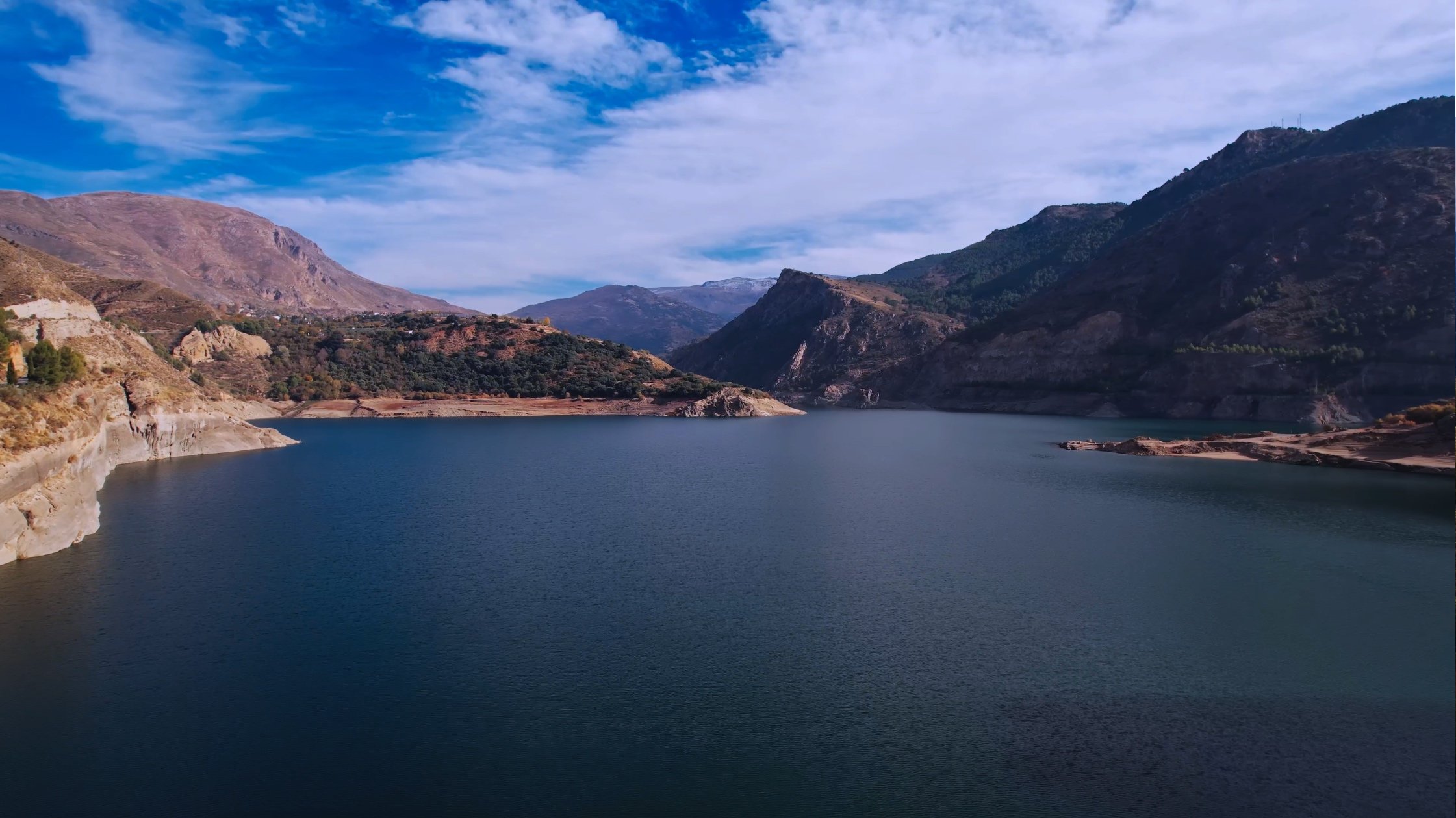
Mapping Water on a Global Scale
Understand water risks of flood and drought in real-time anywhere in the world
Analyze and evaluate easily global and local water risk trends
Use water risk scoring to protect your assets, business, and community
What does that mean for you?
Access to billions of unified water data series across more than 20,000 locations
Ability to extend ground truth data collection using our patented sensing technology at any locations required by your use case
Integrate high quality data into your own models, tools, and products
Have access to actionable real-time insights at your fingertips
Unlock new water data types: levels, precipitation, tidal changes, agitation, snow, and more.
SOLUTIONS
Sustainable Management with Water Monitoring Services
Effectively measure, monitor, and manage water through one seamless and unified solution. Divirod provides real-time nowcast visibility into water risk areas by detecting changes in water levels and conditions that may impact your assets and /or community.
Measure water level, tide, and agitation all from one device.
Be prepared for floods impacting your business.
Measure snowpack for spring thaw insights.
Save time and manpower with automated measurements.
Use Cases: Reservoir and dam operations, River and watershed authority, Coastal monitoring, Harbor and marinas, and more.

Cloud-Based Modeling and Analytics with Water Risk Explorer
Immediate access to billions of current and historical data points of high fidelity and quality for any application to reduce water risks worldwide. Benefit from our purpose-built Water Risk Explorer to access scalable computing capabilities for model development and data analysis.
Interactive solution to explore and answer water risk-related questions.
Combine multiple data sources into one platform and access our data lake via a web-based code editor.
Our turnkey solution eliminates the need to build and maintain a custom platform.
Predict potential risks like drought, water shortage, and floods.
Use Cases: Federal or state government, Academic and research institutions, Real Estate and REIT’s, Environmental Consultants, ESG, Data/Investor platforms, Shipping/ Transportation

Advanced Early Flood Warnings Safeguard Assets and Communities
Gain the time you need to take action with Divirod’s Nowcasts and Early flood warning. We securely monitor your location 24/7/365 and alert you of impending floods, safeguarding your community and assets.
Early flood warning continuously protects you with automated alerts to any device.
Accurate alerts keep you aware of emerging events and inform you when to take action.
Develop and activate resiliency plans for your business or community
Alerts based on accurate real-time water level data.
Use Cases: State and local government, Manufacturing, River and watershed authority, Reservoir and dam operations, Emergency/ resiliency management
TRUSTED BY